Precision Data Delivery

Our Services

Ground-based and aerial geospatial services — planned, captured and processed by India's most experienced survey professionals.

Survey & Mapping Solutions

Cadastral & Revenue Mapping by TGSPL

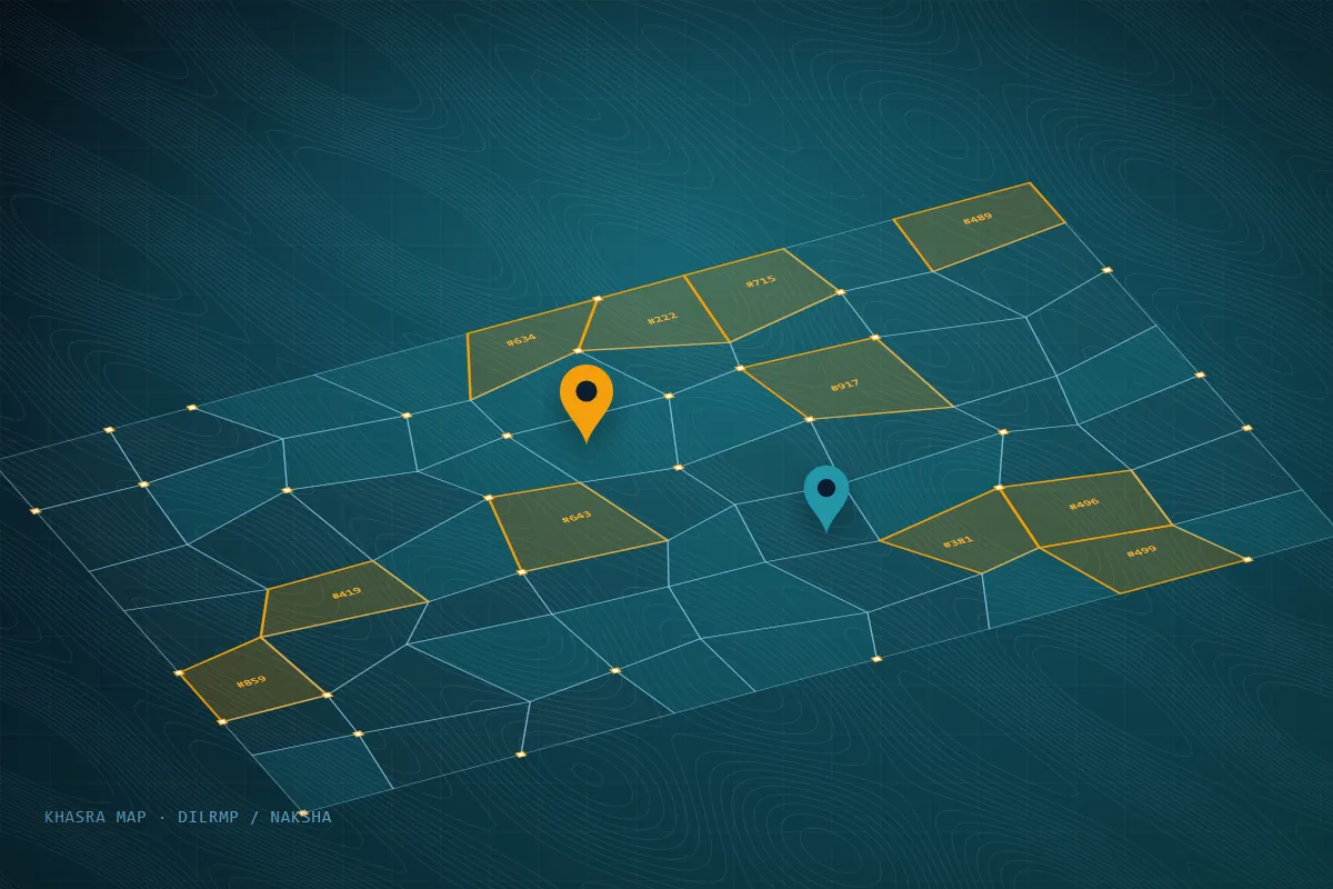
Cadastral & Revenue Mapping

Precise mapping of land parcels for ownership and revenue collection. We support major national initiatives to digitize land records across complex terrains.

  • DILRMP Project Integration
  • Dispute Resolution Surveys
  • Gram Panchayat Mapping
DILRMPNAKSHARevenue Survey
Drone Survey & Photogrammetry by TGSPL

Drone Survey & Photogrammetry

Rapid, high-resolution aerial data acquisition for large-scale projects. We generate centimeter-accurate 3D models and orthomosaics.

  • High-Res Orthomosaics
  • Digital Surface Models (DSM)
  • Volumetric Analysis
OrthomosaicDSM / DTMPhotogrammetry
Topographical & Contour Surveys by TGSPL

Topographical & Contour Surveys

Detailed measurement of natural and man-made features. Essential for infrastructure planning, architectural design, and civil engineering.

  • Contour Mapping
  • Utility & ROW Surveys
  • Highway & Railway Alignment
Contour MapsInfrastructureHighway Design
DGPS / RTK Surveying by TGSPL

DGPS / RTK Surveying

Millimeter-level positioning using Differential GPS and Real-Time Kinematic technologies for ground control and asset mapping.

  • Ground Control Points (GCP)
  • Network RTK / CORS Integration
  • Boundary Demarcation
GCPRTKCORS
LiDAR Mapping by TGSPL

LiDAR Mapping

Advanced laser scanning from aerial platforms to penetrate dense vegetation and generate highly accurate bare-earth terrain models.

  • Forest & Canopy Mapping
  • Digital Terrain Models (DTM)
  • 3D Point Clouds
LiDARDTMPoint Cloud
Bathymetric Surveys by TGSPL

Bathymetric Surveys

Underwater topographic mapping for rivers, lakes, and reservoirs to determine depth, volume, and underwater terrain profiles.

  • Reservoir Capacity Studies
  • Dam Siltation Analysis
  • River Profiling
BathymetryDam SurveyRiver Profiling

A Proven Workflow for Reliable Survey Data

Every project follows documented steps under our ISO 9001:2015 quality system.

  1. 01

    Requirement Study

    Scope, accuracy targets and deliverable formats agreed upfront.

  2. 02

    GCP & Control Network

    DGPS-established control so maps tie to national coordinates.

  3. 03

    Data Capture

    Drone, GNSS and total station observations in the field.

  4. 04

    QC & Delivery

    Independent checks before CAD/GIS/orthomosaic hand-over.

Geospatial Intelligence for Every Sector

From land records to hydropower, our survey data supports planning, design and decision-making across public and private sectors.

Land Records & Revenue

Cadastral mapping for DILRMP, NAKSHA and revenue departments.

Roads & Highways

Alignment, topographic and right-of-way surveys.

Hydropower & Energy

Dam, reservoir and transmission line surveys.

Forestry & Environment

Canopy mapping and forest area assessment.

Urban Planning

Base maps, utility mapping and 3D models for towns and cities.

Mining & Quarrying

Volumetric analysis and stockpile measurement.

Water Resources

River profiling, reservoir capacity and bathymetric surveys.

Academia & Skilling

Hands-on training for students, faculty and departments.

Survey Services — FAQs

Quick answers to the questions we hear most. Still curious? Our team is one call away.

Ask Your Question
What deliverables will I receive?
Depending on the scope: orthomosaics, DSM/DTM, contour maps, CAD drawings, 3D point clouds, GIS layers and survey reports — in the formats your team uses.
Which file formats do you provide?
Common formats include GeoTIFF, DWG/DXF, SHP, KML/KMZ, LAS/LAZ point clouds and PDF maps. Tell us your software and we will match it.
Can you survey hilly or forested terrain?
Yes. Our teams are based in Uttarakhand and routinely work in hilly, forested and remote terrain, combining drones with DGPS and total station methods where tree cover requires it.
Do you work on government projects?
Yes. Our leadership has decades of Survey of India experience and we work with government departments and national initiatives such as DILRMP and NAKSHA.

Looking for a Reliable Survey Partner?

Contact our technical team for custom project quotations.

WhatsApp Call Now