Skill Development

Training Programs

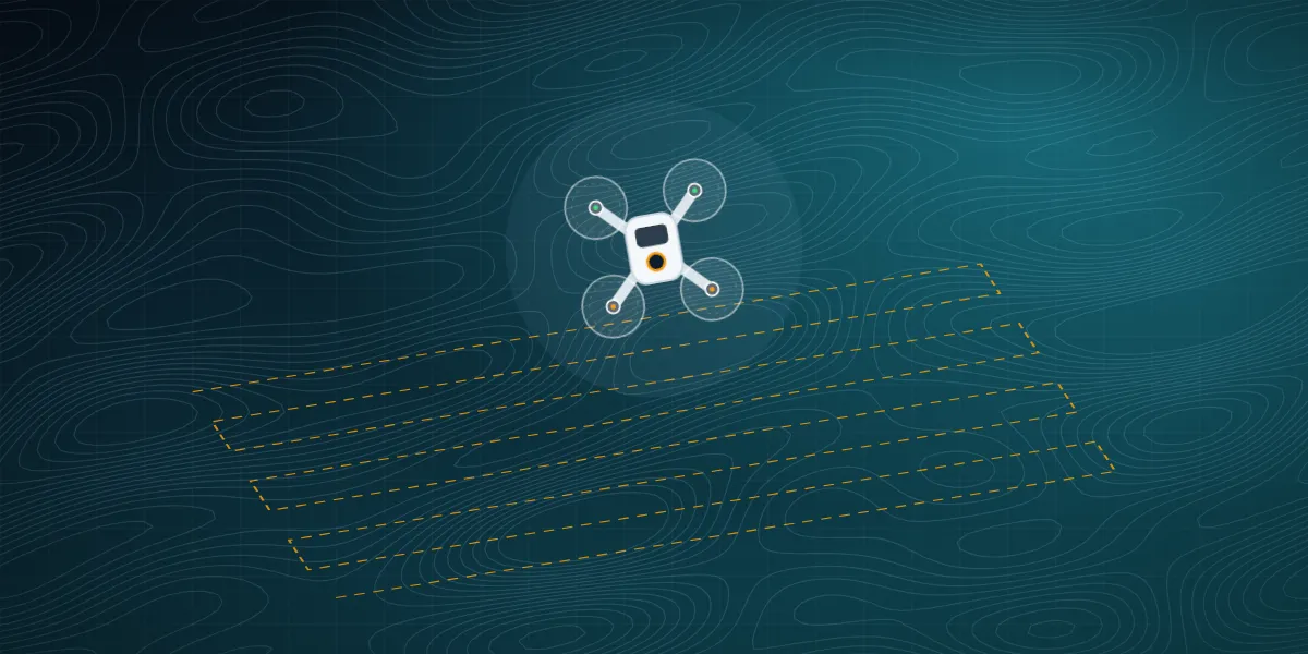
Hands-on masterclasses in DGPS, drone surveying and modern surveying instruments — taught by former Survey of India officers.

Master-Level Masterclasses

Led by retired officers from the Survey of India with decades of field experience.

DGPS / DGNSS Survey Training training at TGSPL Dehradun 01

DGPS / DGNSS Survey Training

Classroom + Field Practice Students, graduates & working professionals

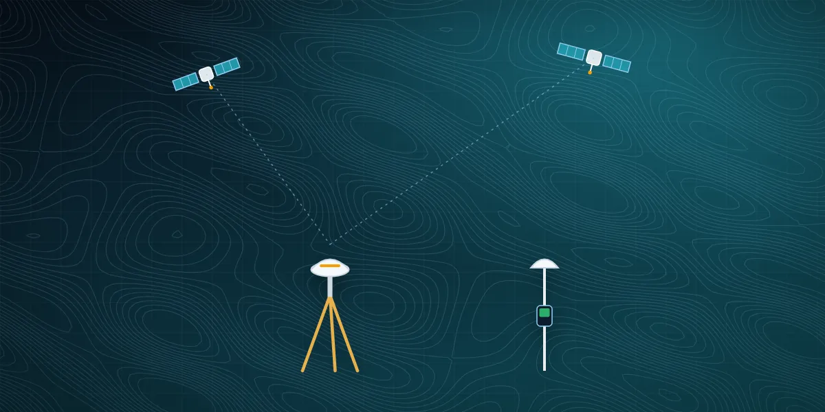
Learn static and kinematic positioning methodologies, ground control point (GCP) setup, data logging, and integration with the Survey of India's CORS (Continuous Operating Reference Station) network.

  • Static & Kinematic Modes
  • GCP Establishment
  • Post-Processing Kinematic (PPK)
Modern Levelling & Engineering Instruments training at TGSPL Dehradun 03

Modern Levelling & Engineering Instruments

Hands-on Instrument Training Diploma / B.Tech students & site engineers

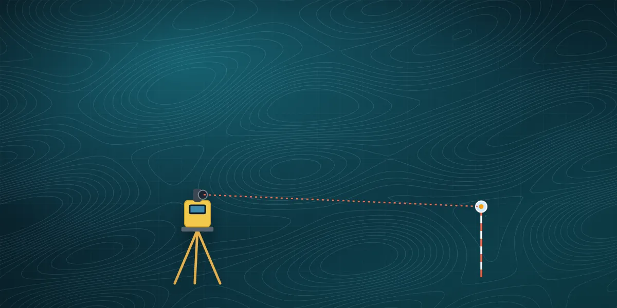
Comprehensive operation of Electronic Total Stations (ETS) and Digital Levels focusing on coordinate calculation, stakeouts, and remote elevation measurements.

  • Traversing & Stakeouts
  • Resection Methods
  • Data Downloading & CAD
DGCA RPC Certification training at TGSPL Dehradun 04

DGCA RPC Certification

Ground School + Simulator + Flying Age 18–65 · Class 10 pass (DGCA norms)

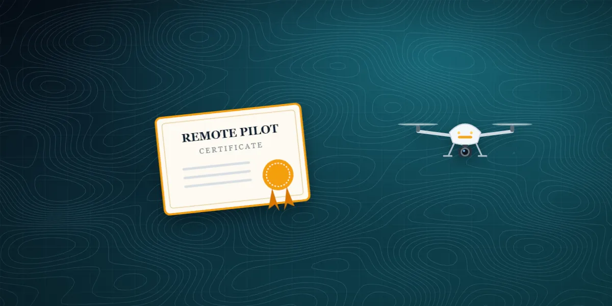
Official Directorate General of Civil Aviation (DGCA) Remote Pilot Certificate training — classroom, simulator and practical flying on DGCA-registered drones at our JBIT campus RPTO.

  • DGCA Registered Drone Training
  • Flight Simulator Sessions
  • Official RPC Certification

Start Your Training in Four Simple Steps

Our admissions team guides you from choosing a programme to your first day in the field.

  1. 01

    Choose a Programme

    Pick the course that fits your background and career goal.

  2. 02

    Register Online

    Fill in the short application form — it takes under two minutes.

  3. 03

    Counselling Call

    Our team confirms batch dates, documents and next steps.

  4. 04

    Begin Training

    Learn in the classroom, on simulators and in the field.

Training — FAQs

Quick answers to the questions we hear most. Still curious? Our team is one call away.

Ask Your Question
Who can join your training programmes?
Our programmes suit civil and geomatics students, diploma and B.Tech graduates, working site engineers and surveyors, and anyone entering the geospatial or drone industry. Each course card lists the recommended background.
Is the training practical or only theory?
It is hands-on. Classroom sessions are combined with instrument practice, software processing and field exercises on real survey equipment.
Who are the instructors?
Training is led by retired officers from the Survey of India and experienced field professionals.
How do I know the batch dates?
Register online or call us — our admissions team will share upcoming batch dates and details. Upcoming batches are also listed on our Events page.

Ready to Advance Your Career?

Join the elite league of geospatial professionals today.

WhatsApp Call Now