
ISO 9001:2015 Certified
Precision Mapping
Decades of Aerial
& Geospatial Expertise.
Delivering elite survey services and master-level technical training led by retired officers from the Survey of India.
Explore Our Services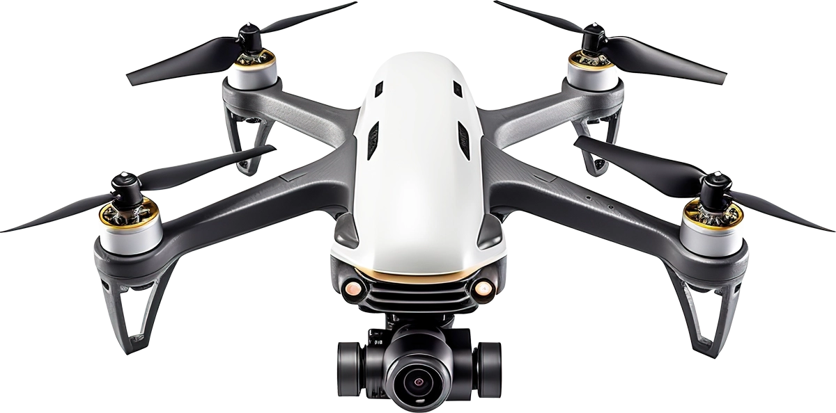
DGCA Authorized RPTO
Comprehensive drone pilot training programs in Dehradun, Uttarakhand.
VIEW DETAILSElite Survey Services
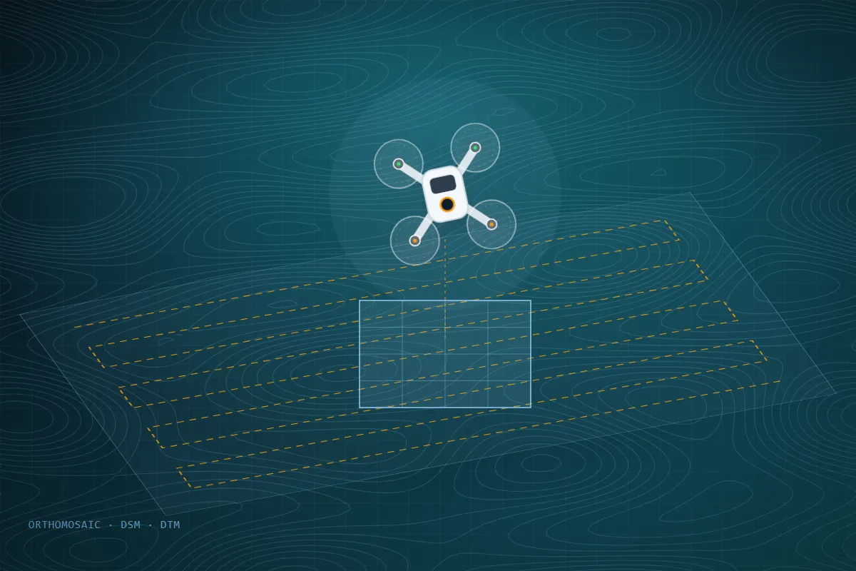
Topographical, LiDAR, Bathymetric, and DGPS surveys with extreme precision.






Key Highlights
View Milestones
Our Core Legacy & Milestones
A core leadership team with 35–40 years of geospatial mapping experience at the Survey of India, government-recognised milestones, and an advanced fleet of Survey Drones, DGPS & Total Stations — the foundation behind every project we deliver.

Distinguished Government Visit

Advanced Survey Fleet

ISO 9001:2015 Certified

DGCA Authorized RPTO Academy
35+
Years of
Experience
Experience
ISO 9001:2015
Certified Company
Who We Are
Precision Geospatial Solutions
Precision Geospatial Solutions
Driven by Decades of Expertise
Topographical Geo Solution Private Limited is an ISO 9001:2015 certified company, recognized under Startup India and MSME, delivering elite survey services and master-level technical training. Our core leadership team possesses 35–40 years of pioneering geospatial mapping experience at the Survey of India.
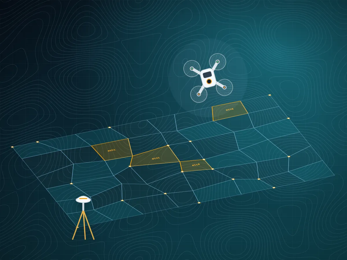
- DGPS, ETS, Digital Level & Drone Survey Equipment
- Retired Officers from Survey of India as Instructors
- DGCA Authorized Remote Pilot Training Organisation (RPTO)
- Active on DILRMP & NAKSHA National Mapping Initiatives
0+
Years of Experience
0+
Projects Completed
0+
Professionals Trained
0
Govt. Bodies Served
What We Do
Precision Survey & Aerial
Precision Survey & Aerial
Geospatial Services
High-accuracy ground-based and aerial geospatial solutions, delivered by India's most experienced survey professionals.
01
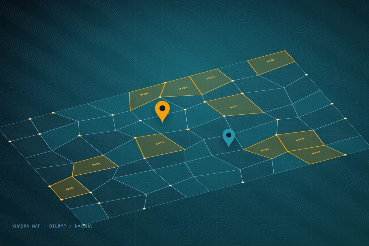
Cadastral & Revenue Mapping
Expert parcel identification and boundary demarcation. We proudly train qualified surveyors for the national DILRMP and NAKSHA initiatives.
Explore Service
02
Drone Survey & Photogrammetry
High-resolution aerial imagery to generate survey-grade Orthomosaics, Digital Surface Models (DSM), and Digital Terrain Models (DTM).
Explore Service
03
Topographical & Contour Surveys
Comprehensive detailed land mapping used for infrastructure planning, engineering designs, and highway construction across challenging terrains.
Explore ServiceNeed a custom geospatial solution? Let's discuss your project.
View All Services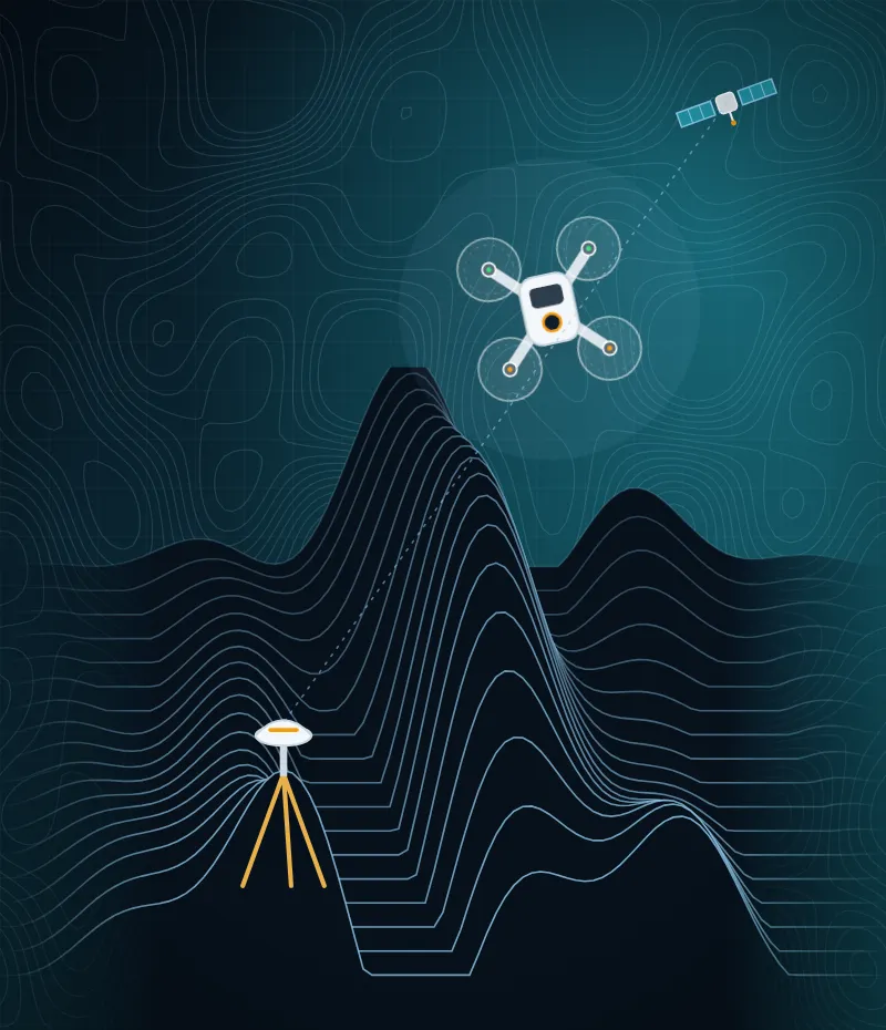
35+
Years of Survey of India field experience in our leadership
Why Choose Us
Why Government Bodies & Professionals Trust TGSPL
Decades of Survey of India field experience, certified quality processes and a modern survey fleet — combined into one accountable team for your project.
35–40 Years of Legacy
Leadership with decades of field mapping experience at the Survey of India.
ISO 9001:2015 Certified
Documented quality processes on every survey — from planning to final delivery.
Advanced Survey Fleet
Survey drones, Trimble & Spectra DGPS, total stations and digital levels.
Government Project Experience
Trusted by state departments and national programmes such as DILRMP & NAKSHA.
DGCA-Authorised RPTO
An in-house drone pilot academy at JBIT Campus, Selaqui, Dehradun.
Himalayan Terrain Expertise
Uttarakhand-based crews experienced in hilly, forested and remote sites.
DGCA Authorized
Drone Academy at
Drone Academy at
JBIT Campus, Selaqui
Topographical Geo Solution Pvt. Ltd. in collaboration with JB Institute of Technology operates a DGCA Authorized Remote Pilot Training Organisation (RPTO) at Selaqui, Dehradun. Train on state-of-the-art simulators with DGCA registered drones.
Dedicated Classroom & Drone Assembly Lab
State-of-the-art Flight Simulator Training Station
DGCA Registered Drones with UIN
Obstacle-free Flying Ground
DGCA
Authorized
Authorized
Skill Development
Our Core Training Modules
We bridge the gap between classic academic syllabi and industrial real-world workflows through high-impact, hands-on masterclasses.
01
DGPS / DGNSS Survey Training
Learn static and kinematic positioning methodologies, ground control point (GCP) setup, data logging, and integration with the Survey of India's CORS (Continuous Operating Reference Station) network.
Learn More02
Drone Surveying & Spatial Applications
Master the entire mapping pipeline — from autonomous mission flight planning to processing data in industry-standard photogrammetry software applications.
Learn More03
Modern Levelling & Engineering Instruments
Comprehensive operation of Electronic Total Stations (ETS) and Digital Levels focusing on coordinate calculation, stakeouts, and remote elevation measurements.
Learn More
How We Work
From Site Visit to Survey-Grade Deliverables
A clear, four-step workflow that keeps every project accurate, documented and on schedule.
-
01
Consultation & Scoping
We understand your site, purpose and the deliverables you need.
-
02
Planning & Reconnaissance
Flight plans, GCP layout and survey methodology designed for the terrain.
-
03
Field Data Acquisition
Drone flights, DGPS/RTK observations and ground surveys by experienced crews.
-
04
Processing & Delivery
QC-checked orthomosaics, DSM/DTM, contours and CAD/GIS outputs, delivered on time.
Sectors We Serve
Geospatial Intelligence for Every Sector
From land records to hydropower, our survey data supports planning, design and decision-making across public and private sectors.
Land Records & Revenue
Cadastral mapping for DILRMP, NAKSHA and revenue departments.
Roads & Highways
Alignment, topographic and right-of-way surveys.
Hydropower & Energy
Dam, reservoir and transmission line surveys.
Forestry & Environment
Canopy mapping and forest area assessment.
Urban Planning
Base maps, utility mapping and 3D models for towns and cities.
Mining & Quarrying
Volumetric analysis and stockpile measurement.
Water Resources
River profiling, reservoir capacity and bathymetric surveys.
Academia & Skilling
Hands-on training for students, faculty and departments.
Our Technology
An Advanced Survey Fleet Behind Every Project
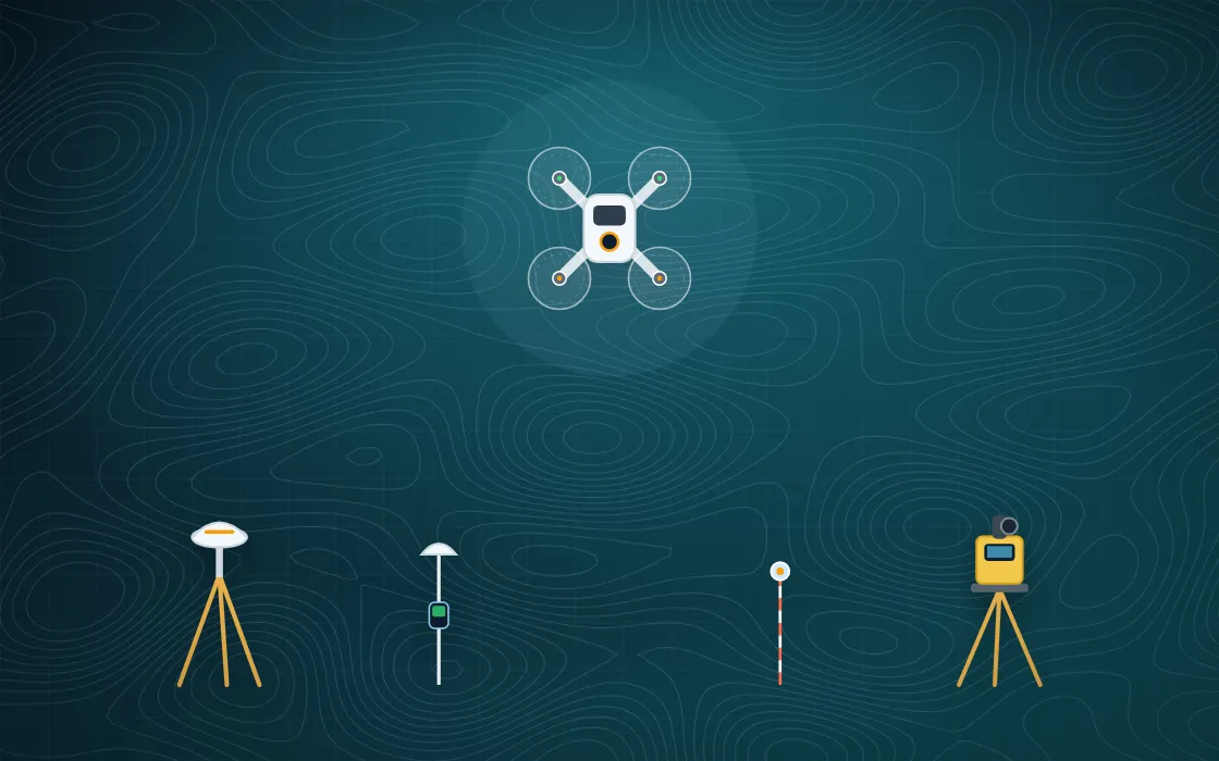
We invest in industry-standard instruments and software so that every dataset we deliver is precise, consistent and ready for engineering use.
Survey-Grade Drones
DGCA-registered UAVs with high-resolution mapping payloads.
DGPS / GNSS Receivers
Trimble and Spectra Geospatial SP60 receivers for static and RTK work.
Electronic Total Stations
Precise angle and distance measurement for detailed surveys.
Digital Levels
Millimetre-level height control and geodetic levelling.
Photogrammetry & GIS Software
Processing pipelines for orthomosaics, DSM/DTM and GIS layers.
Flight Simulators
Simulator stations for safe, structured drone pilot training.
Our Operations
Field Gallery & Infrastructure
Insights & News
View All Articles
Latest from TGSPL
News
Secretary, Technical & Higher Education, Govt. of Uttarakhand Visits Our Drone Lab at JBIT
TGSPL was honoured to host Dr. Ranjit Kumar Sinha (IAS), Secretary of Technical & Higher Education, Govt. of Uttarakhand, at our drone lab on the JBIT campus.
Read More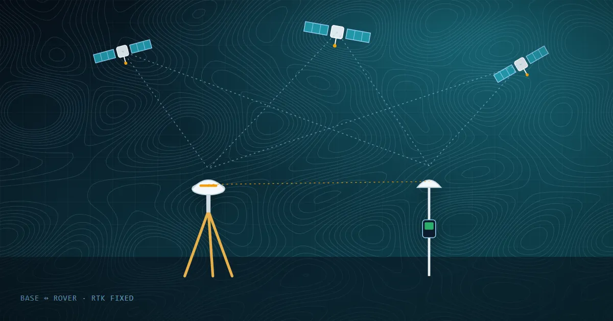 Blog
What Is DGPS Surveying and Why Ground Control Points Matter
DGPS corrects satellite positioning errors to deliver highly accurate coordinates. Learn how static, RTK and PPK work — and why GCPs are the backbone of accurate drone maps.
Read More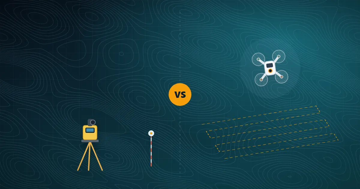 Blog
Drone Survey vs Traditional Ground Survey: Which One Does Your Project Need?
Drones are fast and cover large areas; total stations and DGPS give unbeatable point accuracy. Here is how to choose — and why the best projects often combine both.
Read More
FAQ
Frequently Asked Questions
Quick answers to the questions we hear most. Still curious? Our team is one call away.
Ask Your QuestionWhat survey services does TGSPL provide?
We provide drone surveys and photogrammetry, DGPS/RTK surveys, cadastral and revenue mapping, topographic and contour surveys, LiDAR mapping and bathymetric surveys — along with processed deliverables such as orthomosaics, DSM/DTM, contour maps and CAD/GIS layers.
Where do you work?
Our registered office is in Dehradun and our drone & survey lab is at JBIT Campus, Selaqui. We undertake projects across Uttarakhand and in other states depending on project scope.
How accurate are your drone and DGPS surveys?
With DGPS-established ground control and RTK/PPK workflows we deliver survey-grade results. The exact accuracy depends on the instrument, flight height and terrain, and is agreed with you in the project proposal.
How do I get a quotation for my project?
Use the quote form on this page, the contact form, or call us. Share the site location, approximate area, purpose and deliverables you need — our team will respond within 24 working hours.
Do you also offer training?
Yes. We run hands-on training in DGPS/DGNSS, drone surveying and modern surveying instruments, and operate a DGCA-authorised Remote Pilot Training Organisation (RPTO) at JBIT Campus, Selaqui, Dehradun.
Get a Free Quote
Planning a Survey? Talk to Our Experts
Share a few details about your site and requirement — our survey team will get back with the right methodology and a clear quotation.
- Free consultation on survey methodology
- Response within 24 working hours
- Transparent, itemised quotation
Ready to Advance Your Career in
Geospatial Sciences & Drone Technology?
Seats are limited. Book your place in our next batch at JB Institute of Technology, Selaqui, Dehradun.