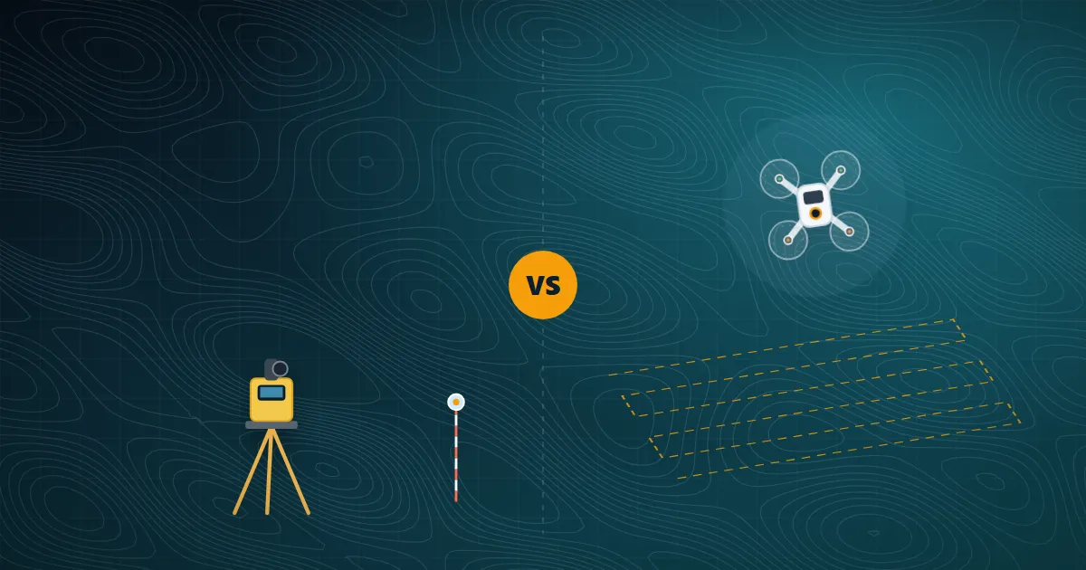
Every infrastructure, land or mining project starts with accurate survey data. Today you can capture that data from the air with drones or on the ground with DGPS receivers and total stations. Which one is right for your project? The honest answer: it depends on the site and the deliverables — and very often the best result comes from using both together.
How a drone survey works
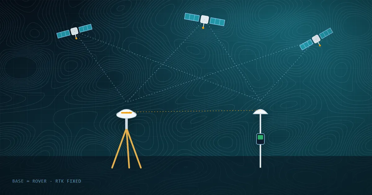
A drone flies an automated grid pattern and captures hundreds of overlapping, geotagged photographs. Photogrammetry software then stitches them into an orthomosaic, a Digital Surface Model (DSM), a Digital Terrain Model (DTM) and a 3D point cloud. Ground Control Points (GCPs), measured with DGPS, tie the model to real-world coordinates.
How a ground survey works
Surveyors occupy points on the ground with DGPS/GNSS receivers or electronic total stations and measure positions and elevations directly. Ground survey is the reference method for precise boundaries, control networks and features hidden from the sky.
Side-by-side comparison
| Factor | Drone survey | Ground survey (DGPS / Total Station) |
|---|---|---|
| Speed over large areas | Very fast — large areas in a day | Slower; depends on crew size |
| Data density | Millions of points, full visual record | Selected points and features |
| Point accuracy | Survey-grade with good GCPs | Highest — the reference standard |
| Dense vegetation | Photogrammetry cannot see the ground under canopy (LiDAR helps) | Works under trees |
| Unsafe / inaccessible terrain | Ideal — no need to walk the site | Difficult or risky |
| Typical deliverables | Orthomosaic, DSM/DTM, contours, volumes, 3D models | Coordinates, boundary plans, levels, control networks |
When to choose a drone survey
- Large or linear sites — roads, canals, transmission corridors, townships
- Stockpile and earthwork volume measurement
- Progress monitoring with repeat flights
- Hilly or hazardous terrain where walking the site is slow or unsafe
When ground survey is essential
- Legal boundary demarcation and cadastral work
- Establishing control points and benchmarks
- Areas under dense forest canopy or structures
- High-precision engineering stake-out
The best of both
Most professional projects use a hybrid approach: DGPS establishes the control network and GCPs, the drone captures the full site quickly, and ground instruments fill gaps under vegetation or verify critical points. This gives you speed and confidence in accuracy.
Not sure which method suits your site? Talk to our survey team — we will recommend the right methodology for your terrain, accuracy target and budget.